Skip to main content
Search
Search This Blog
Life After GIS .com
Posts
Showing posts from 2014
Show all
November 22, 2014
Geography, Harvard, and Digital Mapping
October 11, 2014
Adventures in Online Mapping
September 26, 2014
WRFL interview: critical GIS, Harvard, New Maps Plus
July 12, 2014
Thinking/Making Geographic Representation
May 19, 2014
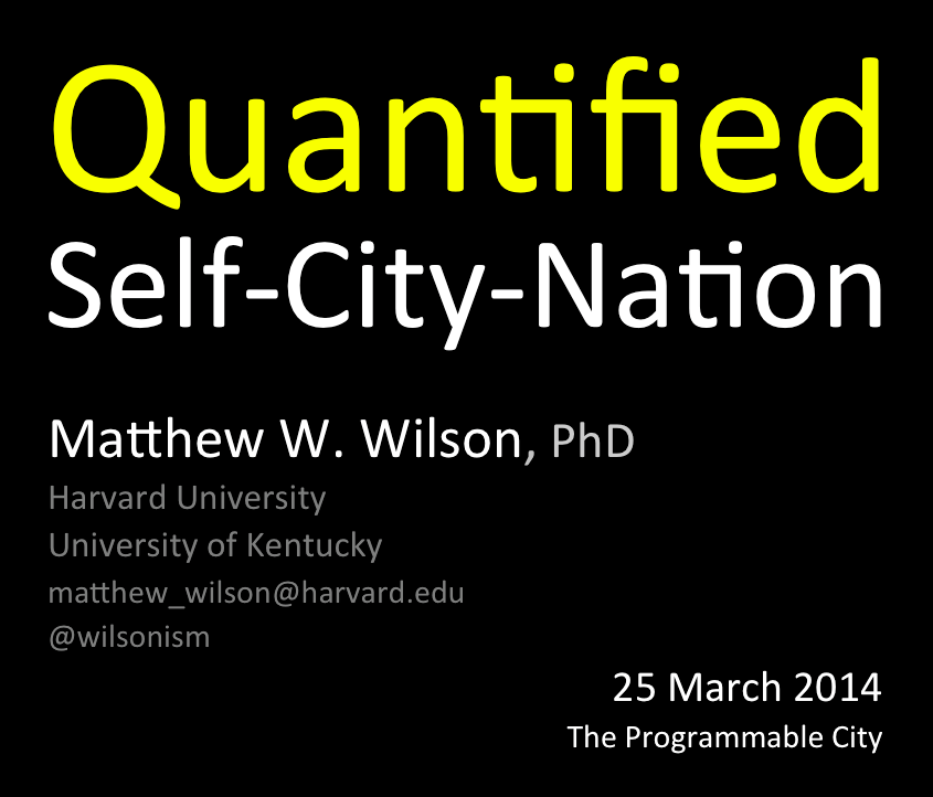
Video: Quantified Self-City-Nation
May 08, 2014
Geospatial Education Online
April 27, 2014
Visioning GIScience Education
April 23, 2014
Big Data, social physics and spatial analysis: the early years
April 18, 2014
Paying attention, digital media, and community-based critical GIS
March 04, 2014
One in Four Americans Thinks the Sun Orbits the Earth
March 03, 2014
Waldo Tobler, Animated Cartography of Detroit
February 14, 2014
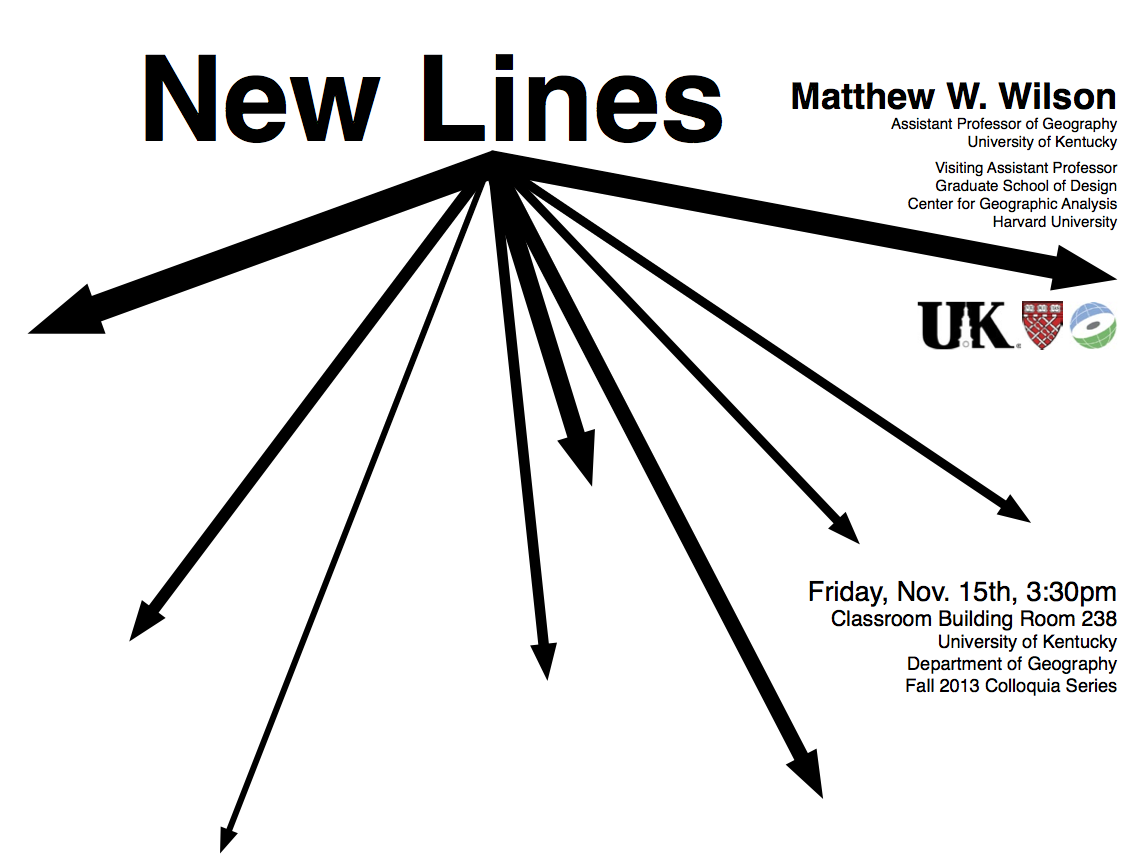
Video: New Lines at U of Kentucky
January 18, 2014
On the criticality of mapping practices: geodesign as critical GIS?
January 11, 2014
New lines?: Enacting a social history of GIS
Newer Posts
Older Posts
Home