Celebrating the Advent of Digital Mapping
Wilson, Matthew W. "Celebrating the Advent of Digital Mapping " ArcNews 36, no. 4 (2015): 32-33.
This year marks the 50th anniversary of the founding of the Laboratory for Computer Graphics (LCG) at Harvard University. A two-day commemoration is planned, April 30 to May 1, as part of the annual conference of the Center for Geographic Analysis at Harvard. This public event will bring together alumni of the lab, historical geographers, and contemporary scholars in geographic representation to reflect upon midcentury innovations in computer mapping and the implications of these developments for the field of GIScience and its related industries.
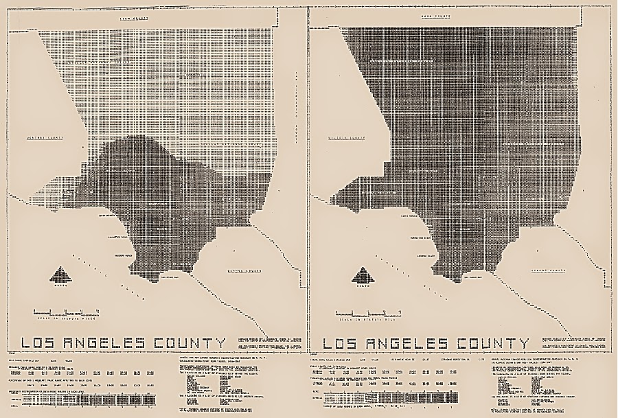
Undoubtedly, the story of Esri and ArcGIS partially began in the basement of Memorial Hall, just north of Harvard Yard. It is a story that was traced by Nick Chrisman in his 2006 Esri Press book Charting the Unknown: How Computer Mapping at Harvard Became GIS. LCG was founded in 1965 by the late Howard Fisher, a 1926 Harvard graduate who was then a lecturer at Northwestern University. Fisher was an architect who developed innovations in prefabricated housing and later consulted on veteran housing following World War II. However, his greatest interests were in creativity and problem solving, and that led him to computer mapping.
The establishment of the LCG within the Graduate School of Design (GSD) formalized geographic inquiry at Harvard University. Harvard had been without a geographer on its faculty since 1956, the year of Derwent Whittlesey's death. Indeed, the closure of the Institute of Geographical Exploration in 1951, following the demise of the subject and department of geography at Harvard in 1948, created a sizable void—and an eventual (if uneasy) opportunity for expansion. [ . . . ]

Comments
Post a Comment